Multi-beam scanning (MBES)
Multi-scanning brings underwater details to light – we ensure you get all the information you need for planning and decision-making.
Detailed information about the seabed
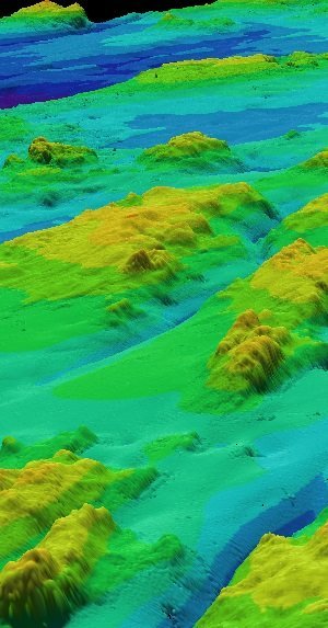
Multi-scan technology produces an accurate three-dimensional model of underwater structures and the seabed. It improves infrastructure management and safety by providing detailed information on depths, structures and materials.
Accurate information underwater
Our multi-scan technology provides highly accurate and detailed images of underwater structures. Whether it’s for harbor depth mapping or water structure inspection, multi-scan can detect even the smallest details, improving the management and safety of underwater infrastructure.
Multibeam sounding produces a three-dimensional depth point cloud of the seabed, which can be used to create an accurate surface model. This provides a comprehensive view of water depths and seabed features, such as structures, cables, wrecks or boulders. At the same time, backscatter data is obtained, which reveals the materials and features of the surface parts of the seabed. The end result is high-quality data that is suitable for accurate seabed use planning.
Applications of multi-beam technology:
- Marine surveying
- Port infrastructure inspection
- Landfill site studies
- Cable and pipe surveys
- Marine biological and marine archaeological surveys
- Environmental studies and exploration
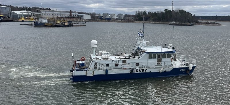
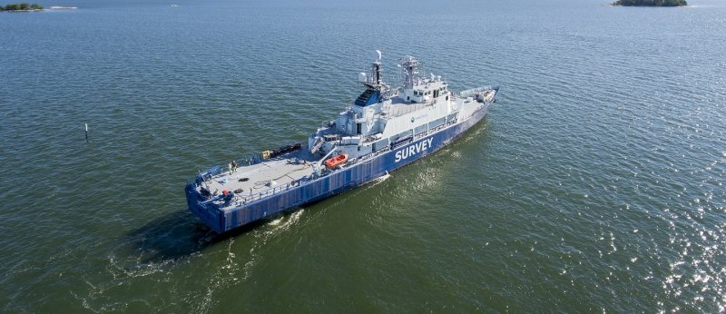
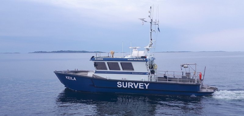
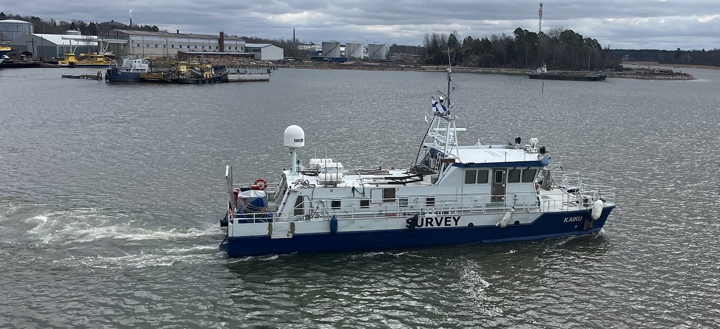
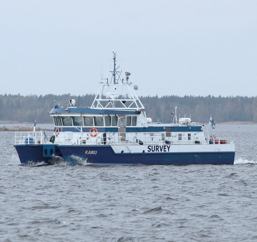
Hydrographic and survey vessels
Contact
Interested in our services or need more information? Contact us and we will help you find the right solution for your needs.
Lauri Pöyhönen
SVP, Marine Survey Services
+358 50 558 7952
lauri.poyhonen(at)arctia.fi

