Geophysical Surveys
Contact![[]](https://www.arctia.fi/media/img/cache/geophysical-surveys-1980x9999,q=85.jpg)
Geophysical Surveys
Our geophysical services are revealing the seabed for customer’s infrastructure and environmental projects onshore and offshore. Arctia can manage the entire survey project lifecycle from permitting to high quality reporting. Arctia utilizes several technologies to collect seabed data.
- Multibeam echo sounding (MBES)
- Side-scan sonar (SSS)
- Sub bottom profiling (SBP)
- Reflection seismic profiling
- Magnetometer
- ROV
Our services can support the following applications:
- Offshore wind farm development
- Cable and pipeline installation
- Dredging and disposal site survey
- Environmental survey
- Habitat mapping
- Archeological investigation
- Exploration
- Searching
- Structural geology
- UXO detection
Contact persons for the service
Hydrographic and survey equipment
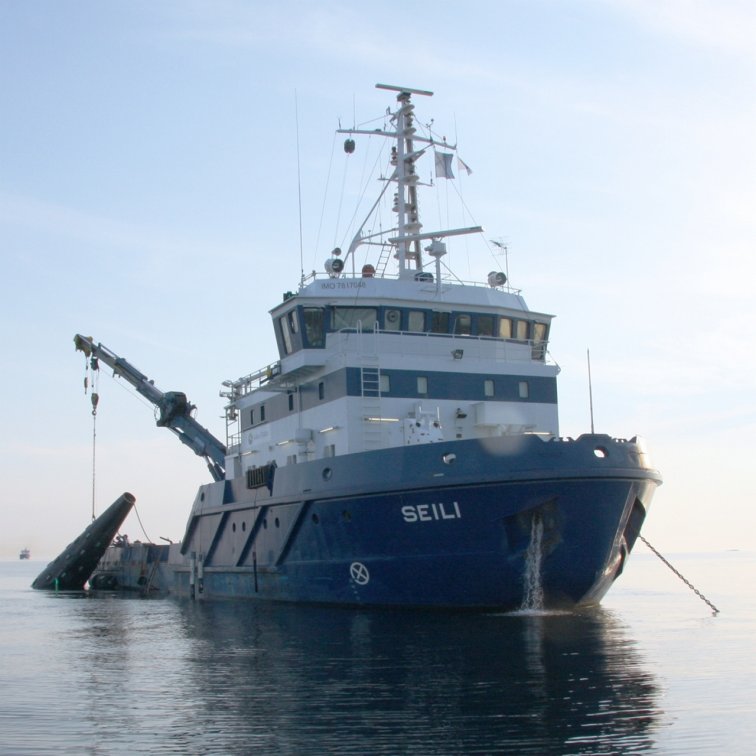
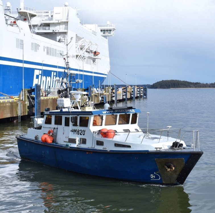
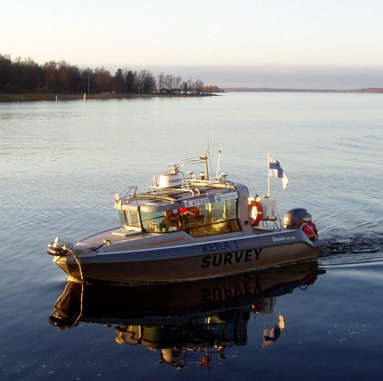
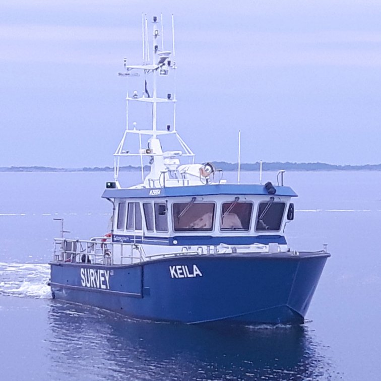
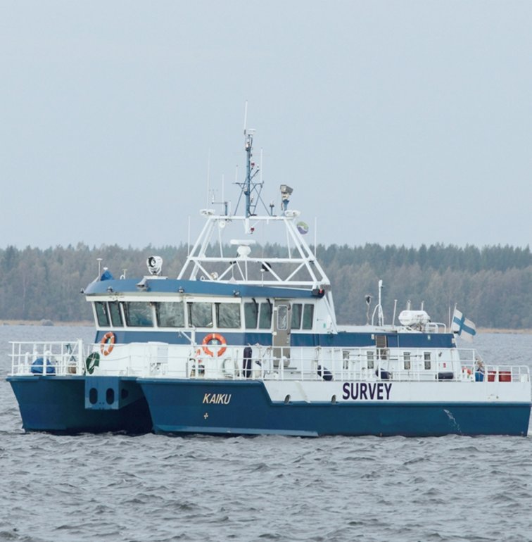
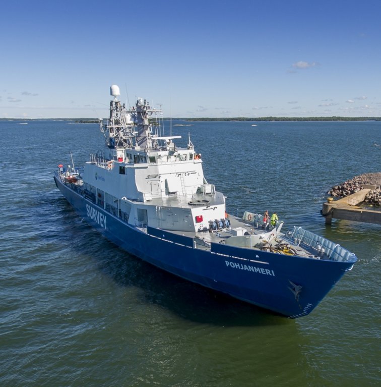
We operate seven hydrographic survey vessels, which are suitable for survey areas in the open sea, on the coast and in indoor waterways.

