Marine survey services
Arctia offers comprehensive and internationally standardized marine survey services that meet the needs of both public authorities and the private sector. We are one of the leading marine survey service companies in Northern Europe.
Accurate and reliable hydrographic surveys
We offer marine surveying, research and engineering services in Finland and the maritime areas of Northern Europe. Our services also include cable and pipeline route surveys, structural condition surveys and bottom surveys.
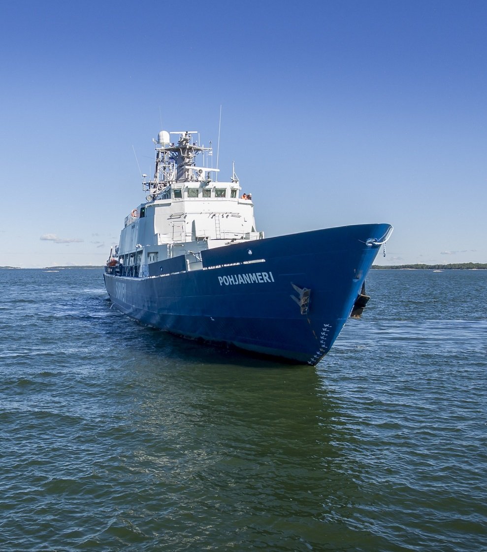
Comprehensive marine survey services
Arctia offers a full range of marine surveying and research services supporting marine mapping, from large-scale government-level requirements and needs to the local needs of private waterway operators and water area owners. We are able to comprehensively map all depth zones from the coastline to mid-oceanic zones, covering the entire Baltic Sea basin and its surrounding marine and water area conditions.
Our internationally recognized capabilities and quality are based on decades of experience in large-scale marine surveying projects in Finland, Northern Europe, the UK and the Arctic regions that improve maritime safety and environmental awareness. Our service meets all the requirements of the international S-44 marine surveying standard, and we are able to meet the local measurement specifications and guidelines of the most demanding authorities.
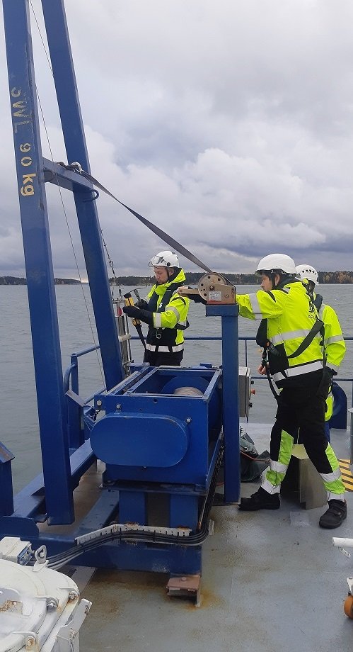
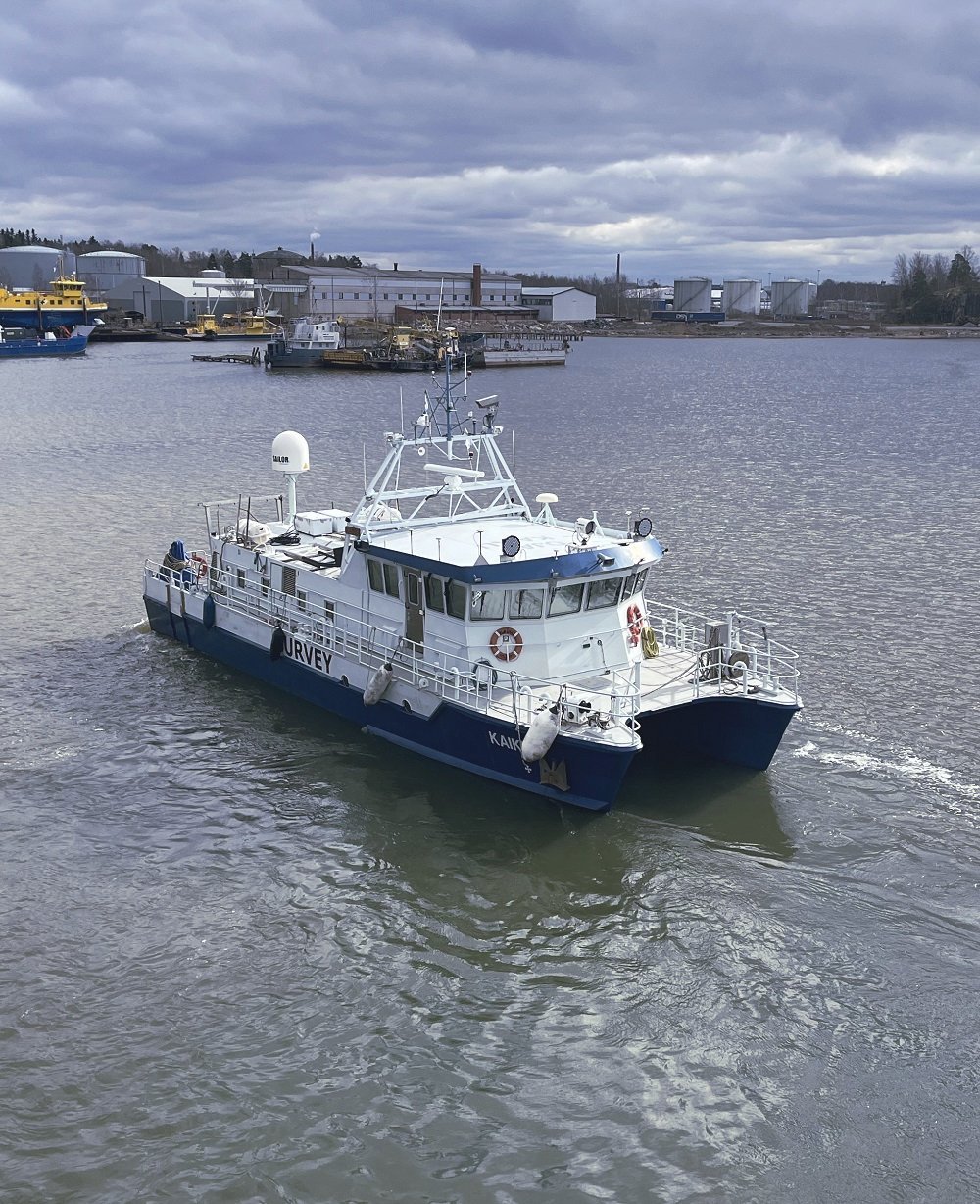
Our services include:
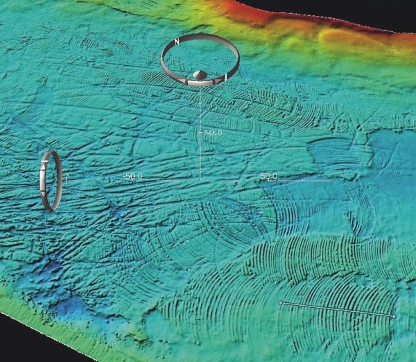
- Depth mapping using the multibeam echo sounding (MBES) method, which allows us to fully cover the variation in bottom topography, depths and underwater objects.
- Multi-beam echo sounding (MBES) bottom type mapping, in which we map the composition of the bottom's surface soil type by monitoring the backscattering energy of the sound wave.
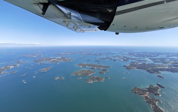
- Laser beam method (Bathymetric LiDAR) depth mapping, where using a laser scanning from an aircraft, we can efficiently collect depth information covering shallow water areas.
- A mechanical survey performed using the rod-shearing method, which we use to supplement multibeam surveys if necessary, with the aim of ensuring the navigability of waterways and planning the location of maritime safety equipment.
- Detailed reporting, including reliable depth data, map products, digitized spatial data and appropriate metadata.
- Analysis and interpretation of data, where we interpret marine survey data, paying special attention to, for example, the existence of underwater objects (wrecks and other structures) in order to accumulate cultural-historical knowledge and ensure maritime safety.
- Sampling, where we utilize light geotechnical sampling methods to complement the bottom type mapping based on acoustic backscatter data.
Our services
Sustainability
Professional survey, research and design enable efficient project implementation and minimize life cycle costs and adverse impacts.
Work safety and employee satisfaction at the core of our operations
We take our responsibility for the marine environment
We reduce our environmental impacts
The services of the waterway maintenance and marine surveying are certified to ISO 9001 quality, 14001 environment and 45001 occupational health and safety, as well as RALA qualification.
Contact
Interested in our services or need more information? Contact us and we will help you find the right solution for your needs.
Lauri Pöyhönen
SVP, Marine Survey Services
+358 50 558 7952
lauri.poyhonen(at)arctia.fi

