Geophysical surveys
Arctia provides geophysical survey services for seabed exploration and offshore wind projects, ensuring safe and cost-effective project implementation.
Geophysical surveys for offshore projects
Geophysical surveys support offshore construction by mapping seabed topography, structures and potential obstacles. Our experienced team and modern equipment ensure accurate results in both coastal and offshore areas.
kaupunkia
customer
asiantuntijaa
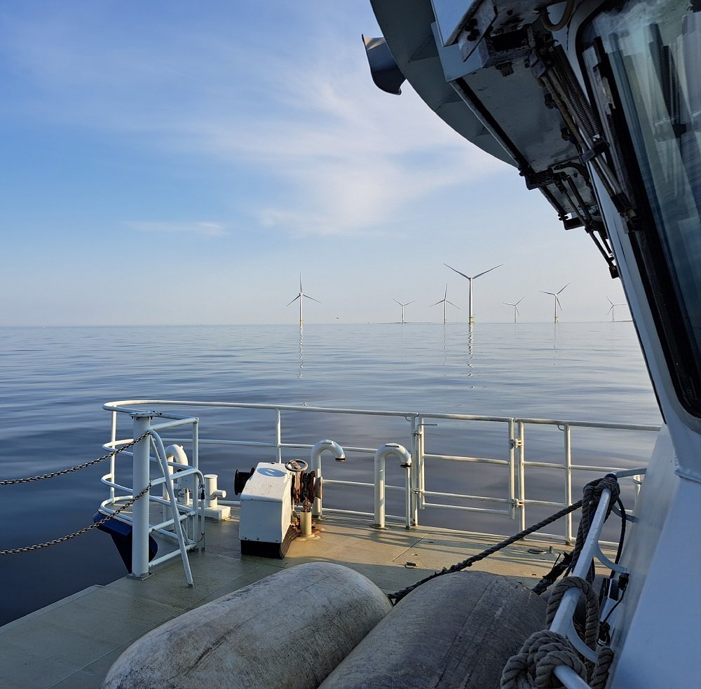
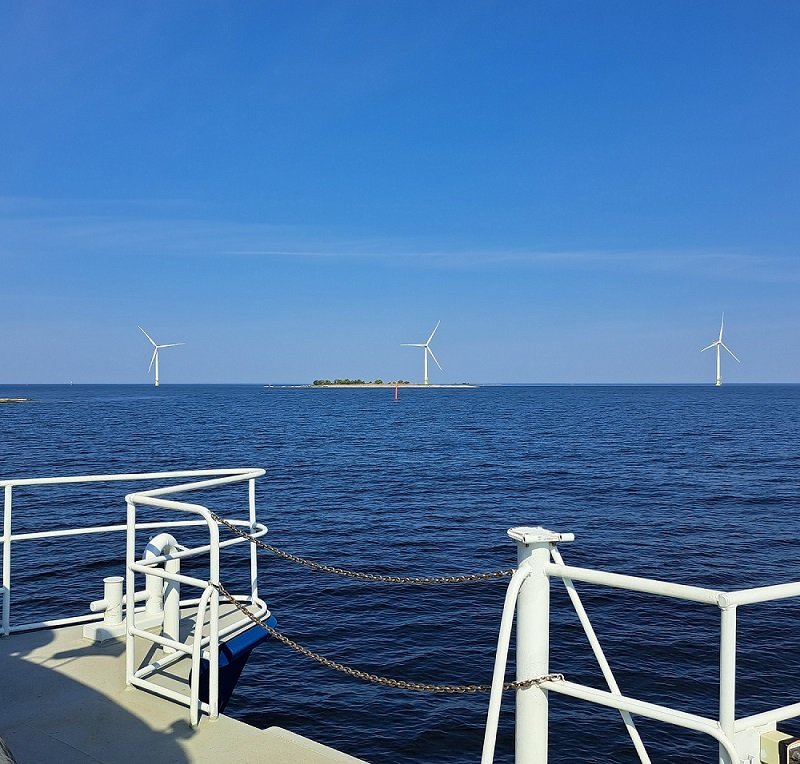
Geophysical Surveys for seabed research and offshore wind power projects
Our geophysical services are revealing the seabed for customer’s infrastructure and environmental projects nearshore and offshore. Arctia can manage the entire survey project lifecycle from permitting to high quality reporting. We map the topography and seabed structures and identify potential obstacles such as boulders, cables and wrecks to ensure your project proceeds smoothly and according to plan. With high-quality geophysical data, our clients can ensure a safe and cost-effective project delivery.
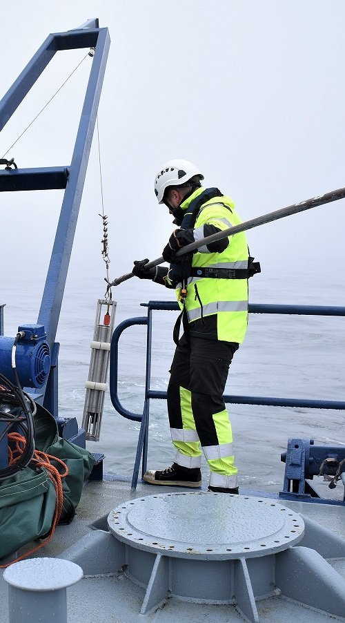
Our services include:
- Seabed depth surveys, where we use multibeam echo sounding to map accurate topography and obstructions.
- Side-scan sonar to identify seabed features and objects such as wrecks, cables, vegetation and boulders.
- Acoustic seismic surveys to determine the structure and sediments of the seabed, enabling safe positioning of cable routes and structures.
- Magnetometer soundings to detect cables and pipelines, explosives (UXO), wrecks and metal debris.
- Detailed reporting, including depth maps and other digitized spatial data sets.
- Analysis and interpretation of data to ensure accurate knowledge of the construction area and to support the environmental impact assessment.
Why choose Arctia?
Our experienced team and modern marine surveying equipment enable surveys in all conditions, both coastal and offshore. We also offer ROV surveys and LiDar surveys for shallow water areas.
Our services help to ensure the safe placing of marine structures and smoother permit process. Our domestic, flexible and eco-friendly approach reduces the risk of delays to your project.
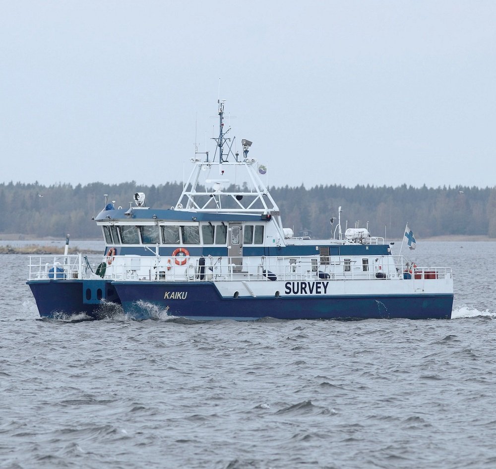
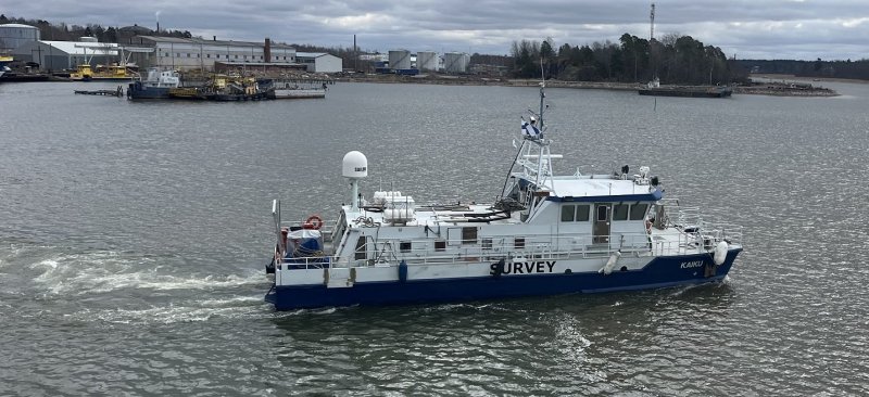
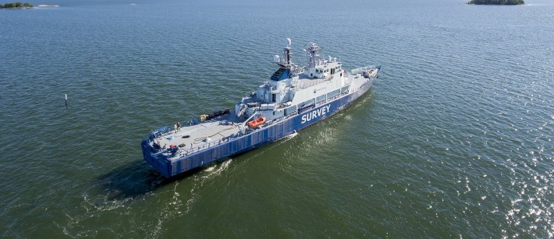
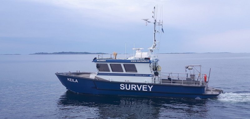
Hydrographic and survey vessels
Contact
Interested in our services or need more information? Contact us and we will help you find the right solution for your needs.
Lauri Pöyhönen
SVP, Marine Survey Services
+358 50 558 7952
lauri.poyhonen(at)arctia.fi

